The experience of buying land used to begin with paper plat maps, a drive through remote terrain, and a lot of guesswork. Today, that process looks very different. Thanks to modern land buying technology, buyers can understand a property’s features, value, and potential without leaving their homes. For sellers, these tools offer a smarter, faster way to connect with informed buyers ready to act.
At DF Development, we’ve embraced this transformation—blending local knowledge and conservation-minded land planning with cutting-edge digital tools that bring the Idaho land market into the 21st century.
Table of Contents
From Boots-on-the-Ground to Browser-Based
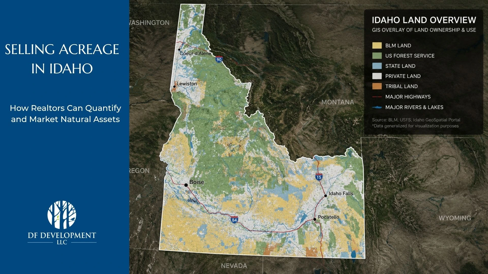
Traditionally, buying land meant relying on instinct and visual cues during an in-person walk of the property. But even standing on site, it’s difficult to evaluate slope, flood risk, or soil quality. With tools like GIS mapping and topographic overlays, prospective buyers can analyze these features in real time—long before stepping onto the land.
These tools don’t replace the experience of seeing a property in person. Instead, they enhance it. GIS data lets you zoom in on a parcel’s boundaries, elevation, water features, and access roads to help you understand how the land lives and breathes.
For our communities like Legacy Creek Ranch and Horsethief Ridge, this clarity has changed how buyers plan for recreation, conservation, and development. It’s not just about “how many acres.” It’s about what those acres offer.
The Rise of Remote Exploration
The average land buyer today is more mobile and often based out-of-state. They may be considering land in Idaho while living in California, Washington, or Colorado. That’s where virtual land tours and drone footage come in.
Instead of relying on a few static images, buyers now engage with dynamic, high-resolution videos and 360° tours. They can get a feel for the terrain, views, tree cover, and proximity to amenities—all with a level of accuracy that used to require multiple visits and days of travel.
These virtual experiences are especially valuable for those seeking off-grid properties or mountain parcels where access and terrain matter deeply.
Smarter Valuations with AI-Powered Appraisals
Determining land value is complex. Factors like location, zoning, access, and future growth potential all play a role. Historically, appraisals took weeks and depended heavily on limited comparable sales data.
Now, AI-driven land appraisals are making the process faster and more accurate. These systems analyze thousands of data points—recent sales, environmental factors, market trends—to provide a more objective and transparent valuation.
These valuation tools help buyers evaluate fair pricing and empower sellers to price more competitively. In a rural land market like Idaho’s, that kind of clarity can significantly reduce time on the market.
Quick Quiz: Are You Ready to Use Land Buying Technology?
Let’s check in. This short quiz helps you see how well you’re prepared to use today’s digital tools when exploring land to purchase.
- When you research land, you typically:
A) Wait until you can visit in person
B) Browse photos and read descriptions
C) Look for GIS maps, drone footage, and pricing analytics - Your biggest challenge in buying land is:
A) Understanding the terrain
B) Feeling confident in the price
C) Evaluating everything remotely and efficiently - Which of these would help you most today?
A) A trusted guide to walk the land with you
B) A live video walkthrough
C) A complete virtual package with GIS, valuation, and video
Results:
- Mostly A’s: In-person matters, but digital tools can give you a head start
- Mostly B’s: You’re ready for more context. Consider diving into GIS or AI tools
- Mostly C’s: You’re tech-ready. Let’s connect you with digital property data today.
The Bigger Picture: What Land Buying Technology Means for Buyers and Sellers
For buyers, land buying technology makes it possible to gather real, actionable insights from anywhere in the country. You can compare parcels, study access points, evaluate slope and soil, and assess conservation potential—all without wasting time.
For sellers, these tools expand your reach. You’re no longer limited to local buyers who can make the trip. A strong digital package—GIS mapping, drone footage, valuation reports—helps you tell a clear story about the land, backed by data.
Using strong digital packages to show precise data is exactly the approach DF Development takes. From conservation-focused communities to investment-ready parcels, our goal is to combine responsible land stewardship with the digital tools that today’s buyers demand.
Ready to Experience It Yourself?
Whether you’re just starting your search or ready to walk the land in person, DF Development is here to guide you. Our team combines local expertise with the latest land buying technology to help you find the right property in Idaho.